Sunday, November 21, 2010

Ecuador: Western Andean Slopes (Mindo)

Ecuador - Mindo Cloud Forests


Click above for all the photos.

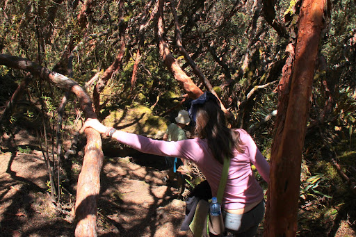
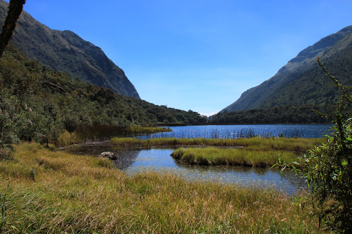
The last place we visited in Ecuador was the town of Mindo, about a 2-hour drive north of Quito. We spent three nights at the Mindo Gardens lodge, which itself was a 45-minute walk from the center of the very small town of Mindo. Mindo is a one-street town with loads of eco-lodges, but little in the way of food. What the area does have going for it is extensive bird activity and 
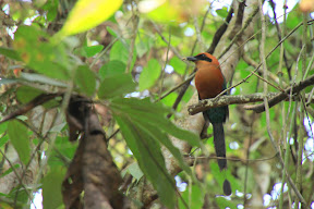
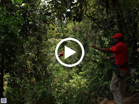
zip-lines through the canopy of these high-altitude "cloud forests." Mindo is especially famous for one resident, the 
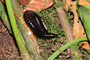
Andean Cock-of-the-Rock. Each morning (in secret places only the $100-per-person guides know about) dozens of the male COTRs gather to court lady birds. Rarely do the ladies show up, but it's supposed to be quite the spectacle. However, due to a lack of sufficient funding, we didn't get to see real live Cock-of-the-Rock. We did see lots of other great animals, though, which you can see by clicking through the album.


From Ecuador - Mindo Cloud Forests


From Ecuador - Mindo Cloud Forests


We also engaged in Mindo's other two activities: visiting the butterflies


From Ecuador - Mindo Cloud Forests


... and hurtling through the canopy on what I'm sure are very safe metal cables


From Ecuador - Mindo Cloud Forests

Tuesday, November 02, 2010

Ecuador: Parque Nacional Cajas

Photos here.

In our second week in Ecuador, we flew south from Quito to the lovely town of Cuenca (we'll have a separate post about that city some day). From Cuenca, we booked a tour to Parque Nacional Cajas, a highlands park notable for it's glacier-formed valleys, hundreds of lakes, and ancient "polylepis" forests.


We saw many cool birds, a bunny, hiked several the lagoons, and walked up to the second-highest point in the park, known as "Tres Cruces," where there is a memorial to the many Spaniards who died while trying to cross the Andes (elevation 13,670 ft.). Interestingly, Tres Cruces is also on the continental divide; which means every drop of water on one side of Tres Cruces flows toward the Pacific, while every drop that falls on the east side goes into the Amazonian basin (and then the south Atlantic).

Cajas' terrain is known as a "paramo" ... basically, high-elevation plains and bogs. It's actually quite similar to some of the terrain we saw above the tree line on the South Island of New Zealand:


From 28Mar07

Compare with Ecuador:


Pretty cool...